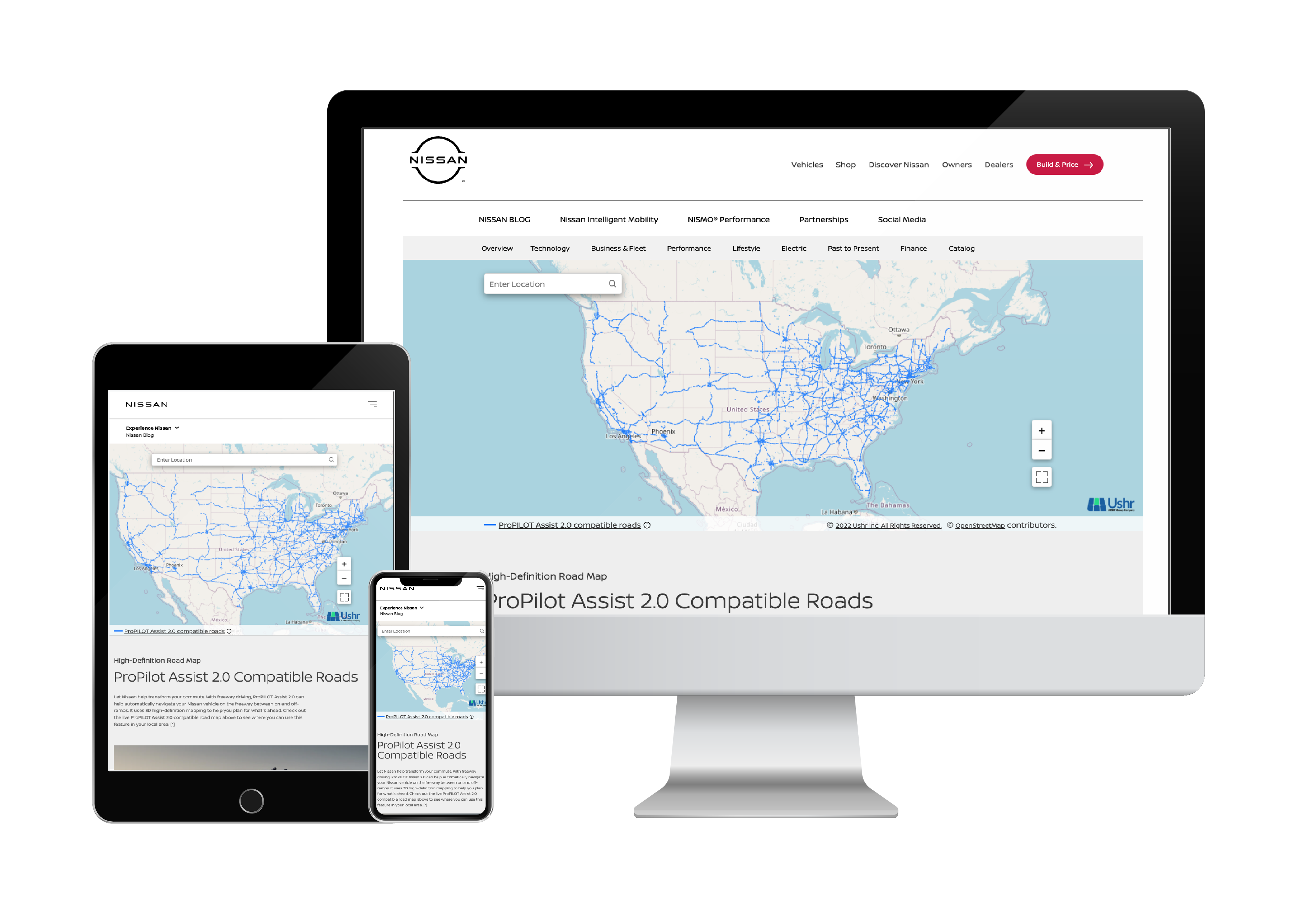
Nissan High Definition Road Map
Nissan and Infiniti required an interactive mapping tool to show where their ProPilot Assist hands-free driving technology could be activated. The project was executed in two phases, several years apart. The first phase launched a ProPilot 2.0 map for Nissan US, supporting both English and Spanish. When ProPilot 2.1 was introduced, the scope expanded significantly, requiring new versions for Nissan Canada (English and French), Infiniti Canada (English and French), Infiniti US (English), and an updated Nissan US version in English, all while maintaining the existing ProPilot 2.0 pages. Compliance with Canadian regulations mandated that customers be provided with access to hands-free driving data, and sales in Canada were halted until these new pages were released.
